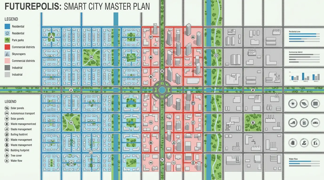
The Dholera master plan is the statutory blueprint for building the Dholera Special Investment Region across a reported planned envelope of about 920 sq km, of which roughly 580 sq km is developable and about 422 sq km is urban. The land is organised into six Town Planning schemes, TP1 to TP6, with all six draft schemes reported sanctioned. Development runs in three phases over roughly 30 years toward a horizon around 2040, starting with the Activation Area in TP2. Land use is split across industrial, residential, mixed-use, recreation and a Knowledge and IT zone, though exact zoning percentages are not reliably sourced in public figures.
The Dholera master plan is the statutory blueprint that turns a roughly 920 sq km stretch of coastal Gujarat into a planned city. It divides the land into six Town Planning (TP) schemes, sets aside zones for industry, housing, mixed use, recreation and a Knowledge and IT area, and sequences construction across three broad phases over roughly 30 years toward a horizon around 2040. This page lays out the plan's structure, the phasing, and what is confirmed versus reported, using only sourced figures. It is the planning companion to what Dholera SIR is.
Dholerapedia is independent and does not sell plots. Several master-plan figures, including the headline area split and the end-year, are reported rather than independently settled, and are tagged as such below.
The area the plan covers
The master plan works across a reported planned envelope of about 920 sq km. Of that, roughly 580 sq km is reported as developable, and about 422 sq km as urban. The gap between the headline number and the developable number matters: a large share of the region, close to a third of the developable land, sits within the Coastal Regulation Zone, and the flat, low-lying coastal terrain makes drainage a real design constraint. So the 920 sq km is a planning boundary, not 920 sq km of buildable plots.
The six Town Planning schemes
The region is organised into six Town Planning schemes, TP1 to TP6, and all six draft schemes are reported sanctioned. TP schemes are the standard Gujarat mechanism for pooling land, laying out final plots and reserving land for roads and public use. Phase-I of the build centres on TP1 and TP2, which together cover about 153 sq km. TP2 is the important one for early activity because it holds both the Activation Area and the ABCD building.
| TP scheme | Reported area | Note |
|---|---|---|
| TP1 | ~51 sq km (~12,750 acres) | Part of Phase-I |
| TP2 | ~102 sq km (~25,000 acres) | Holds the Activation Area and ABCD building |
| TP3 | Not reliably sourced | Area not confirmed in public figures |
| TP4 | Not reliably sourced | Area not confirmed in public figures |
| TP5 | ~75 sq km | Later phase |
| TP6 | ~67 sq km | Later phase |
Where a scheme's area is not in reliable public figures, this page says so rather than estimating. TP3 and TP4 areas fall into that category and should be treated as not reliably sourced until confirmed against DSIRDA's final development plan documents.
Land-use zones
The plan allocates land to a mix of uses rather than a single purpose. Qualitatively, the master plan sets out industrial areas, residential neighbourhoods, mixed-use districts, recreation and tourism land, and a dedicated Knowledge and IT zone, which is where the ABCD building sits. The exact percentage split across these zones is not reliably sourced in public figures, appearing only inside DSIRDA's final development plan PDFs, so Dholerapedia does not chart a zoning breakdown. The industrial focus lines up with the anchor projects, from the Tata semiconductor fab to the solar park.
The three phases and the 2040 horizon
Development is sequenced across three broad phases over roughly 30 years. The reported targets run in this order: Phase 1, around 2020 to 2025, delivers the Activation Area; Phase 2, around 2025 to 2030, adds the airport and industry; and Phase 3, around 2030 onward, builds out toward the full region. The end-year is stated inconsistently across sources as either 2040 or 2042, so treat the horizon as reported. Promotional targets for full build cite roughly one million population and about 800,000 jobs, both of which are long-range targets, not current figures.
How the plan has moved
Master plans are living documents, and Dholera's has slipped in places. The clearest example is the Activation Area's old target of about 120,000 residents and 80,000 jobs by 2020, which has lapsed. Land acquisition for the region was also litigated, with the Gujarat High Court staying acquisition in 2015 after farmer petitions, and reporting in 2017 found only a fraction of the planned area then secured. None of this erases the plan; it means dates should be read as targets. The sequence of milestones is set out in the Dholera timeline, and the figures behind it sit in Dholera data.
Frequently asked questions
What is the Dholera master plan?
How many Town Planning schemes does Dholera have?
How big is the developable area versus the planned area?
What are the land-use zones in Dholera?
When will Dholera be fully built?
Are the TP3 and TP4 areas known?
DholeraPulse. (2026). Dholera Master Plan: TP Schemes, Phases and Zones. Retrieved 22 July 2026, from https://dholerapulse.com/dholera-master-planSources & references
- Dholerapedia Fact Pack, 2026 (planned ~920, developable ~580, urban ~422 sq km reported; TP1-TP6; three phases; ~2040/2042 horizon)
- DSIRDA final development plan references (dholera.gujarat.gov.in/finaldp/15)
- dholera.gujarat.gov.in/about_us
- Dholerapedia pillar pages: Activation Area, ABCD building, timeline, Dholera data
DholeraPulse labels facts by confidence. Figures marked reported or target come from press or announcements and may change; verify anything time sensitive against the official source before acting.